Trusted By
Territorial Analysis · Geospatial Visualization
We transform your fieldwork into evidence that convinces stakeholders, drives decisions, and amplifies your impact.
It's not just about maps or data — it's about understanding a territory, reading it as though it were a living language. Does your project need to see what others can't, connect dispersed information, or turn decisions into real impact? That's where we come in.
At Lenga, we don't deliver off-the-shelf products. We work alongside you to uncover the story your land, your community, or your initiative has to tell. We combine spatial analysis, field experience, and a human-centered perspective so that every map becomes a tool — not just a nice image.
What sets us apart isn't the technology — though we use it well — it's the way we think: collaborative, adaptable, and grounded in the realities of the territory.
We work with NGOs, conservation projects, and organizations that need to demonstrate their impact. We combine spatial analysis, field experience, and rigorous methodology so that every deliverable is a tool — not just a visualization.
We don't build dependency. Every deliverable is fully documented so your team can operate and evolve it independently.
There is no standard product. Before designing any tool, we conduct a thorough assessment of your data, your team, and your objectives.
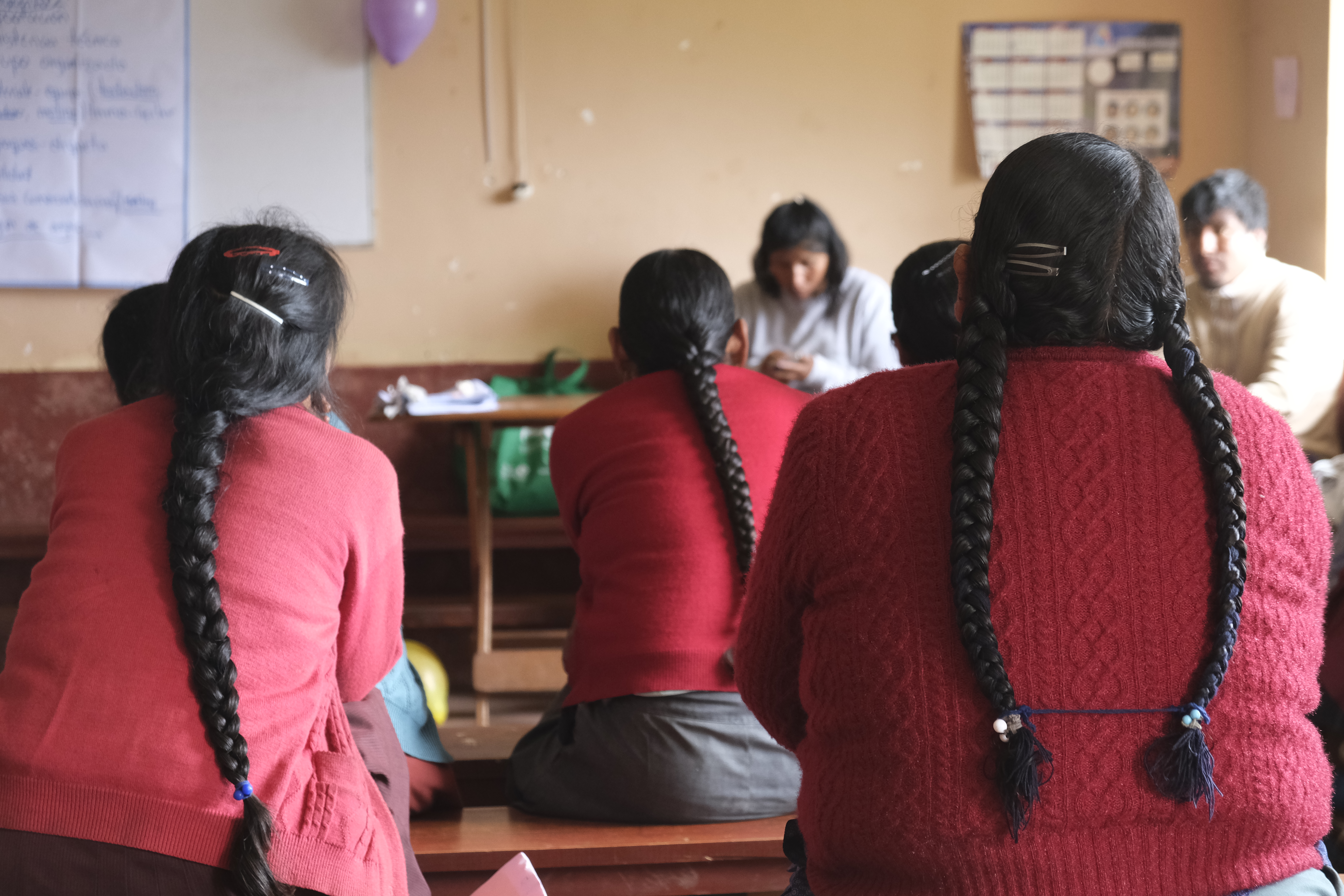
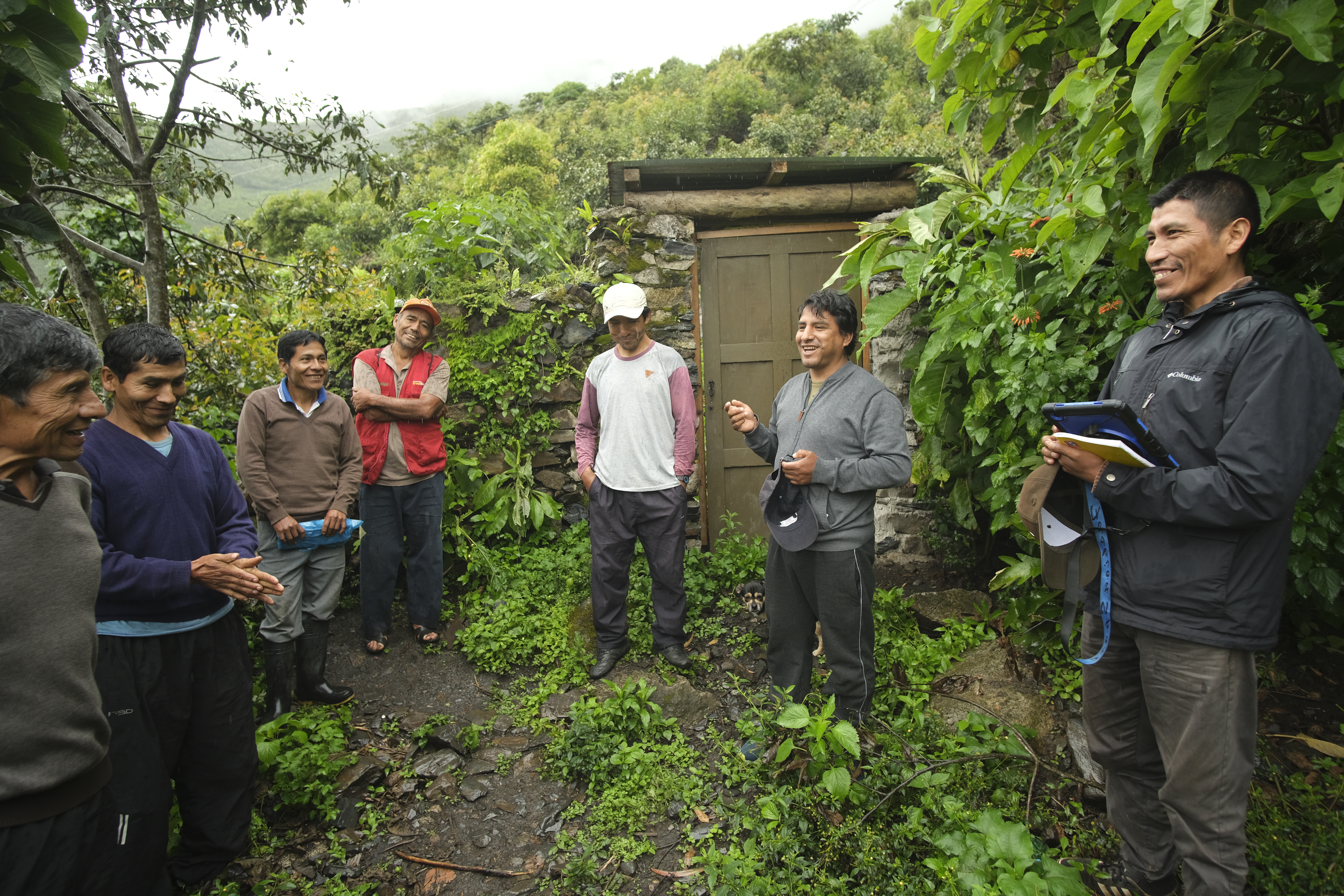
We don't analyze from behind a desk. We combine remote sensing with real fieldwork and local context so that results make sense where it matters most.
What We Do
Every project is different. Our solutions can be contracted independently or as a sequence. In every case, what we deliver stays with you.
Before measuring anything, you need to know what you have. We assess the state of your data, your recording capacity, and your objectives — and tell you what to build first so you don't invest in the wrong things.
We define with you what success looks like and how to demonstrate it. A clear M&E indicator system, co-designed with your team, that connects every activity to the change you seek to generate.
We show where and how the territory changes over time. A rigorous, visual resource that makes visible what previously could only be described in words.
We design the instruments, protocols, and workflows so your team collects data reliably and consistently — without depending on external consultants every time you go to the field.
We turn your data into a clear, honest, and visually compelling report. Designed for the person who needs to decide whether to continue funding your work — and understand why it's worth it.
A tool that lets you explore your data, cross-reference variables, and communicate results dynamically. For meetings, events, or embedded directly on your own website.
No lengthy process
We also work on standalone projects. A map, a dashboard, a report — no full consulting engagement, no long timelines.
Your territory, your data, your story. A map ready to present, publish, or deliver to funders — designed to be understood at first glance.
Your data, explorable and interactive. For internal meetings, international events, or embedded directly on your website.
Your results in a clear, visual, and honest document. Designed for the funder who needs to understand what happened — and why it's worth continuing.
In Action
In the commodity market, differentiation is key. Traceability for specialty coffee is notoriously difficult to prove. Lenga developed an innovative geographic dashboard that was presented at international conferences including the SCA Expo.
What traces does a wildfire leave behind? How severe was the ecological disruption? Burn severity analysis answers these questions through remote sensing and spatial classification.
"Lenga helped us position ourselves strategically as leaders in traceability and present our funders with real spatial evidence for the first time." — Manager at Yungas · United States
Trusted By
The lenga (Nothofagus pumilio) is one of Patagonia's oldest and most iconic trees. It grows in the cold highlands of the Andes, and every autumn paints the mountainsides in shades of red and gold, sheltering a unique biodiversity.
Recent research shows that rising temperatures threaten its capacity for regeneration. By the end of this century, many high-altitude zones may become too warm for the lenga to survive without intervention.
At Lenga Land Lab, we draw inspiration from this tree — but also from the urgency of protecting fragile ecosystems. We believe that science, geography, and well-used information are powerful tools for acting in time.
of the Earth's land surface has already been altered by human activity.
We need to change the way we use the land. At Lenga, we support those who are reversing harmful practices, pioneering innovative ways to work the land, restore ecosystems, and build a more just world.
Building community, from the Global South, for the world.
Let's Talk
You don't need to have everything figured out yet. Tell us what you're working on, what the challenge is, and we'll explore together whether we can help.